


Europe’s MTG-S1 Launch, MethaneSAT Loss, and Starlink’s Environmental Challenge

“A thin blue line above the Earth now represents the newest and most advanced collection of tools developed for the task of weather, climate, and environmental forecasting at the same time as the dangers of the proliferation of satellites in space have multiplied.” Recent months have seen the European MTG-S1 and Sentinel-4 launch a new age of atmospheric science, while the MethaneSAT has announced revolutionary levels of detail for methane emissions, then fallen quiet, and the SpaceX Starlink initiative has spurred the pace of connectivity and concern for the environment.”
1. MTG-S1: Europe’s First Geostation
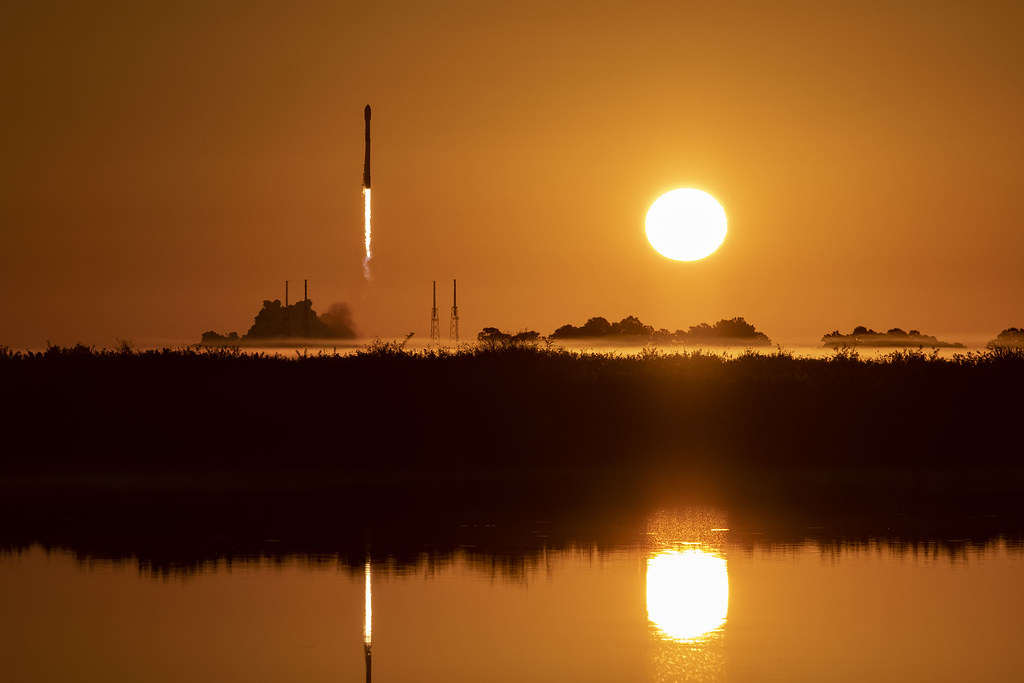
Launched on July 1, 2025, aboard a SpaceX Falcon 9 rocket, Meteosat Third Generation Sounder-1, also known as MTG-S1, is the first European hyperspectral infrared sounding instrument in Geostationary orbit. According to ESA’s Tobias Guggenmoser, this technology has the ability to “cut the sky into layers” and can deliver constant 3D atmospheric information each and every 30 minutes across Europe and Northern Africa. It uses interferometric methods to analyze temperature, humidity, winds, and trace gases at various heights and allows meteorologists to analyze atmospheric instability anomalies before cloud formation. MTG-S1 orbits earth at 36,000 km from the equator and complements MTG-IMAGER satellites for a lifecycle view of convective clouds.
2. Sentinel-4: Hourly Air Quality Observ
Sentinel-4 will let us see the diurnal cycle of key air pollutants. This represents a huge advance in public health policy. The mission will also provide integrated information into the Copernicus Atmosphere service, adding to Europe’s capability to predict levels of air quality. This mission will complement the Sentinel-5P and Sentinel-5 missions, also in orbit. Giorgio Bagnasco from the European Space Agency said, “a scientific marvel – measuring trace gases at parts per billion levels, from 36,000 km away.” The Sentinel-4 mission carries an UVN spectrometer called Copernicus Sentinel-4.
3. MethaneSAT: A Vital Climate Mission Lost
MethaneSAT, launched in March 2024 through backing from Jeff Bezos and the Environmental Defense Fund, lost contact a year later as of June 20th in 2025. According to project leader Steven Hamburg, initial findings indicated that methane emissions are between ten and thousands of estimated percentage points in areas like Texas, New Mexico, and Caspian. Lead scientist Steven Wofsy reminded that MethaneSAT has a singular capability in assessing point source emissions and spatial emissions simultaneously. Though lost now, MethaneSAT has a retrievable data set of 1,000 gas sites that can be applied elsewhere in satellites like GOSAT-GW from Japan or Sentinel-5 from Europe.
4. ESA Biomass Satellite: Carbon Storage Mapping
ESA launches the Biomass mission in April 2025, equipping the first spaceborne P-band radar, focusing on dense forests with the ability to detect the trunks, branches, and stems where most forests’ carbons are trapped. Biomass will help remove the uncertainties surrounding the amount of carbons emitted by forests. Biomass also provides the use of radar to map the geology below the surface in desert and ice sheet regions, offering additional functionality beyond the use in forestry.
5. Blossem Kwarts’ Snel Wordt en
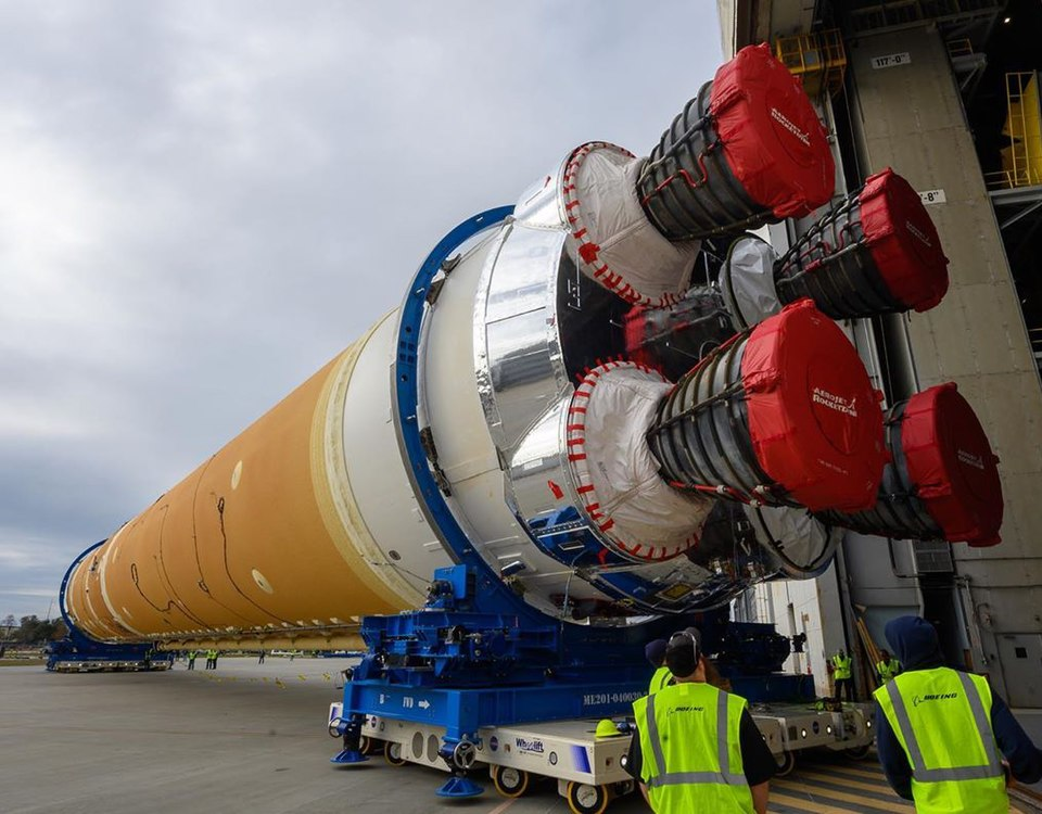
SpaceX’s Starlink 10-25 satellite deployment represented the 500th flight of Falcon 9 and the 29th flight of booster B1067. But from December 2024 to May 2025, SpaceX removed 472 satellites from orbit a figure up by six times from before. NASA-funded research indicates that destroying satellites releases aluminum oxide nanospheres that can harm the ozone layer. Joseph Wang pointed to a predicted annual excess of 640% over endogenous aluminum concentration from mega constellations. According to Jonathan McDowell: “There is now a Starlink reentry almost every day.” Such is the relentless input of space junk.
6. Satellite Reentry Atmospheric Science Pollution
Research by José Ferreira simulated the interaction between flash-heated aluminum returning to satellites and oxygen to produce aluminum oxide, a catalyst for ozone destruction. The longevity of this catalyst means that any impact might remain for decades to come. Because mega-constellations are predicted to have over 100,000 satellites, experts say that even orbit-regulation policies aimed at preventing debris are insufficient inasmuch as they fail to consider effects on the upper atmosphere, according to Aerospace Corporation’s Brian Weeden: “There’s no checkbox that says, ‘Also, take a look at whether or not this has an impact on the upper atmosphere.'”
7 Vera C. Rubin Observatory: Big Data in Astronomy
The Vera C. Rubin Observatory recently published its initial images captured with the planet’s largest digital camera, the 3.2-gigapixel camera, to begin the Rubin Observatory’s ten-year survey of space and time. Rubin is expected to catalogue billions of galaxies with its staggering 60 petabytes of data, pushing the frontiers of research on Dark Matter, Dark Energy, and the Evolution of the Universe. SLAC’s Aaron Roodman pointed out the importance of the focusing precision of the new camera, which is better than four microns.
This is linked to the challenges in Earth observation, where the usage of artificial intelligence is playing an increasingly important role. ESA’s MTG-S1 and Sentinel-4 satellites are now the foundation of Europe’s meteorology and air quality monitoring service toolkit, while the short-term mission life of MethaneSAT has reframed debates about methane policy, and the expansion of the Starlink network has sparked hotly contested environmental reviews. This intersection of satellite technology, climate data, and environmental policy is creating a new set of priorities within the space industry.