


Explorative PSO for Drone Swarms in Occluded Target Tracking
In complex environments such as dense forests, detecting and tracking moving targets presents significant challenges due to occlusion and dynamic scene changes. Traditional particle swarm optimization (PSO) methods, which rely heavily on historical best positions, often fail in these conditions. The objective function in such scenarios is neither linear nor smooth, and gradient-based optimization is infeasible. The research addressed this by designing a PSO strategy that prioritizes exploration over exploitation, ensuring drones remain dynamic and cover the synthetic aperture (SA) effectively.

Instead of converging toward historical best positions, the swarm behavior is constrained to the current time instance, with random local explorations biased toward a temporal global leader—the best sample at that moment. A minimal distance constraint defines SA properties, preventing drones from clustering too closely. The objective function integrates new samples only if they improve visibility, combining parallel samples from the current time with sequential samples from previous iterations.
Key hyper-parameters govern this behavior: c1 (cognitive coefficient) refines each particle’s position randomly; c2 (social coefficient) guides the swarm toward the best sampling position at time t; c3 sets the scanning speed when no target is found; c4 defines minimal horizontal sampling distance; and c5 controls divergence speed back to the default scanning pattern when the target is lost. The default scanning pattern is linear, centered at the swarm’s center of gravity, spaced at s ? c4, and moves at speed c3 along scanning direction SD.
When a potential target is detected, images from all drones are integrated to form the best integral image, \({\tilde{I}}_{best}^t\), with its corresponding best sampling position, \({P}_{best}^t\). Integration occurs only if visibility improves, and minimal distance constraints are enforced using Rutherford scattering. SD and c3 are updated based on target motion, ensuring the swarm can keep pace. If the target is lost, the swarm diverges smoothly toward the default scanning pattern.
Altitude differences between drones are used for collision avoidance, with uniform height spacing ?h. This results in minimal impact on spatial sampling resolution compared to sampling at the same altitude. For example, with ?h = 1 m, n = 10 drones, fov = 50°, and hl = 35 m, the resolution drops from 6×6 pixels/m² to 5×5 pixels/m², with SL?h = 1.28 and pose estimation error SL e = 6.57 dominating the loss.
Sampling strategy is further optimized by alternating altitudes across the swarm to maximize overlapping ground coverage. Over ? time instances, n drones capture n?? images, with anomaly detection applied to RGB and thermal bands using a Reed–Xiaoli detector. Anomalies are integrated relative to the perspective yielding the highest objective score, O(\({\tilde{I}}_{best}^t\)), which measures the contour size of the largest connected abnormal pixel cluster via the raster chain tree algorithm. This score correlates strongly with target visibility and detection rate.
After convergence, the swarm’s positions approximate solutions to the packing circles in a circle problem, ensuring c1 + c2 ? c4 and c1 ? c2 to balance cognitive and social behaviors. Sampling rates in scanning and orthogonal directions are set by c3 and c4, respectively, with c5 controlling divergence smoothness. The SA diameter is computed as a = c4 ? r n, where r n is the packing number for n drones.
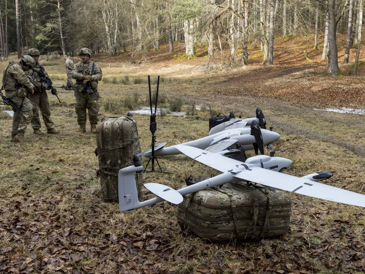
Simulation experiments used the ProcTree algorithm in WebGL to generate aerial RGB and thermal imagery over procedurally generated forests with densities from 300 to 500 trees/ha. Parameters such as tree height, trunk dimensions, and leaf size were varied to produce realistic occlusion effects. The centralized implementation achieved an average processing time of 96 ms for parallel samples and 30 ms for sequential samples per drone, with one PSO iteration for n = 10, ? = 3 taking 1.86 s to process 40 images. While decentralized processing is possible, the centralized approach is favored for practicality, aided by modern 5G ground stations and cloud APIs for data transmission.