


Geomatics and GIS: The Expanding Frontier of Surveying
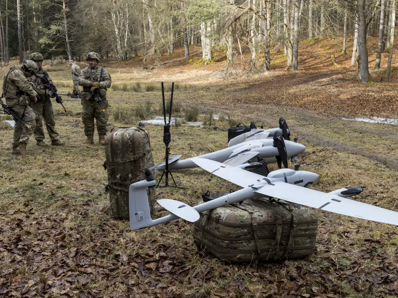
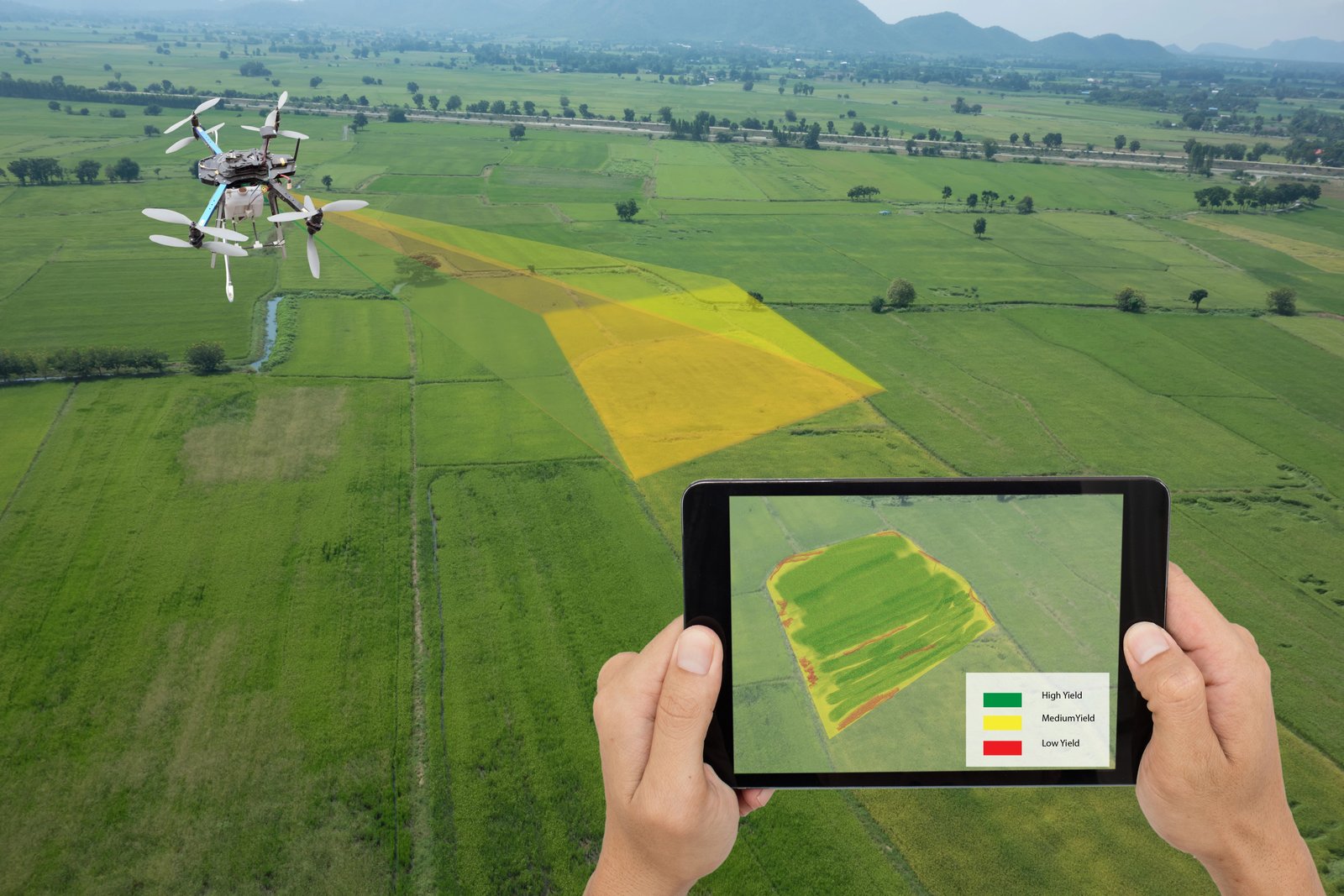
Advances in geospatial technology have transformed the land surveying profession from a discipline focused on measuring distances and defining boundaries into a multifaceted field capable of mapping above and below ground, indoors and outdoors, in both two and three dimensions. Tools such as photogrammetry, remote sensing, LiDAR, GPS/GNSS, and robotic total stations enable surveyors to capture spatial data with unprecedented precision. Once collected, this data is integrated into complex relational geodatabases through geographic information systems (GIS), allowing for comprehensive management and analysis across diverse applications.
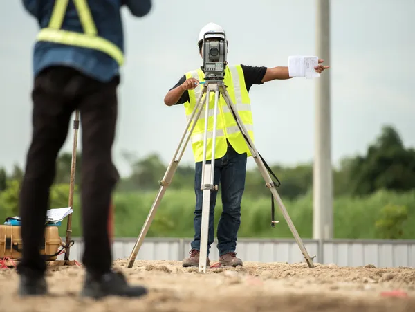
Traditional surveying relied on applied mathematics and mechanical instruments like Gunter’s chain and the surveyor’s compass. Today, the scope has expanded far beyond those origins. The term “geomatics” has emerged to encompass the range of technologies and scientific disciplines now employed by surveyors, while GIS specifically refers to the hardware, software, and databases that store and make accessible layered geographic data.
The boundaries between surveying, engineering, and GIS have become increasingly indistinct. The integration of LiDAR, mobile mapping, asset management, building information modeling (BIM), and drone operations raises questions about licensing and specialization. The U.S. Department of Labor addressed these evolving needs with its Geospatial Technology Competency Model (GTCM), first released in 2010 and updated in 2014 and 2018. This federally endorsed framework outlines essential skills for geospatial professionals and emphasizes interdisciplinary education.
Higher education institutions have responded by restructuring programs to include GIS certificates, four-year geomatics degrees, and advanced graduate offerings. Integrated coursework fosters an understanding of how specialties interrelate, preparing graduates to address the complex demands of sustainable, environmentally conscious development. Geomatics draws from land surveying, GIS, photogrammetry, remote sensing, satellite navigation, geodesy, GPS/GNSS, LiDAR, mapping, mathematics, computer science, and engineering. While Canadian universities embraced geomatics engineering in the 1990s, U.S. adoption accelerated as STEM curricula broadened to include spatial information sciences.
Geomatics engineering applies spatial data to practical problem-solving in infrastructure, environmental management, and industrial operations. Engineering firms require not only accurate measurements but also the ability to integrate spatial information with other technical inputs to determine optimal project approaches. Professionals trained in geomatics find opportunities in industries ranging from oil and gas to space exploration, architecture, facilities management, and even health and finance. As reliance on geospatial data grows for navigation, national security, and urban planning, demand for geomatics expertise continues to expand globally.
The University of Colorado Denver’s Geomatics Engineering and GIS graduate program exemplifies this trend. Administered through the Department of Civil Engineering and delivered entirely online, it leverages internet-based courseware and web conferencing to connect students with integrated curricula that once existed in separate silos.
GIS itself is a powerful system for storing and managing geographic data from field surveys, satellite imagery, demographic databases, and more. Its strength lies in the ability to overlay and analyze multiple data layers, enabling insights such as optimal site selection based on population density and income levels. Modern data sources—from drones to large-format aerial cameras—produce vast amounts of information that would be unmanageable without GIS. Surveyors use GIS to streamline pre-field planning, monitor data collection progress, and ensure coverage without gaps.
The first GIS systems of the 1960s revolutionized geographic data usage by centralizing information in compatible formats accessible to multiple users. Beyond its role as a system, GIS also refers to Geographic Information Science, the discipline concerned with the computational methods and data structures underlying spatial information management. The American Association of Geographers’ 2006 release of the Geographic Information Science and Technology Body of Knowledge (GIS&T BoK) provided a foundational reference for geospatial education, later digitized and continuously updated under the University Consortium of Geographic Information Science.
Large infrastructure projects, such as pipelines or transmission lines, illustrate the value of integrating geomatics disciplines. These projects traverse varied terrain, intersect natural and human-made features, and affect multiple stakeholders. By combining land surveying, LiDAR analysis, satellite imagery processing, and GIS during design and construction, engineering teams achieve efficient planning and precise results. The interconnectedness of communities, ecosystems, and built environments becomes clearer when all available geographic data is leveraged.
Land surveying, GIS, photogrammetry, remote sensing, and related technologies, while distinct in their methods, form a complementary network of capabilities. Together, they provide a richer, more accurate understanding of the world, enabling smarter decisions in the measurement, design, and construction of the environment.