

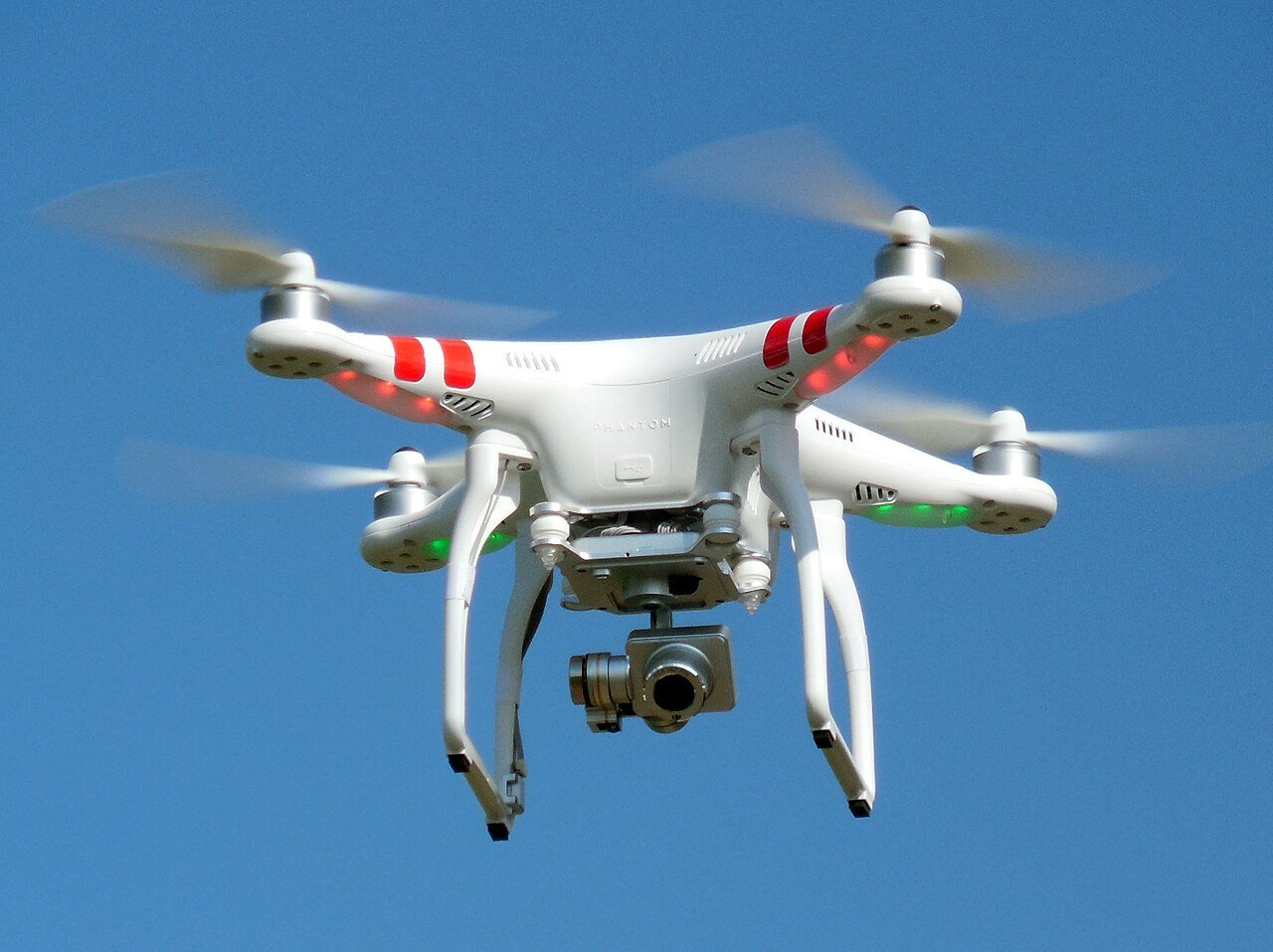
Israeli Drone Navigates Without GPS Using AI Vision
An Israeli startup has demonstrated a civilian drone capable of completing delivery missions without relying on GPS, marking what it calls a “worldwide first.” The achievement, announced by Sightec, involved a successful flight beyond visual line of sight in an area with no GPS signal, guided entirely by computer vision and artificial intelligence.

The test formed part of a competitive tender under Israel’s national drone delivery pilot program, jointly operated by the Ministry of Transport, Ayalon Highways, the Civil Aviation Authority of Israel, and the Israel Innovation Authority. The program’s aim is to validate and integrate advanced drone technologies into managed airspace.
Roy Shmuel, Sightec’s CEO, described the milestone as a critical step toward regulatory approval for drone delivery operations in Israel. The company’s proprietary software, NavSight, can be installed on any commercially available drone equipped with a camera. By turning the camera into a smart, affordable sensor, NavSight enables the drone to “see and understand its surroundings” in a manner analogous to a human pilot. Through advanced video processing, the system identifies the drone’s location in real time.
Shmuel emphasized the vulnerability of GPS-based navigation. Signals can be unavailable due to satellite malfunctions, solar flares, or deliberate interference such as hacking. For drones, a sudden loss of GPS can lead to dangerous crashes, posing risks to people and property. “We give drones the ability to get from point A to point B safely,” he said, “without the need for GPS signals. There is no available solution today for players globally.”
In operation, the drone’s route is pre-programmed. If GPS fails, the camera activates automatically, functioning as a navigation sensor. The system matches live visual data with stored maps, determining the drone’s position under varying conditions, including night flights. Beyond location tracking, the technology detects and classifies both ground and aerial objects, and performs 3D mapping to build a detailed understanding of the environment. This allows the drone to either land safely in emergency mode or continue to its destination without human intervention.
During the recent pilot near the southern city of Yeruham, Sightec’s system guided the drone through five pre-set routes. “The drone completed each route safely, from take-off to full landing, over desert and construction sites,” Shmuel reported. The test environment presented diverse visual challenges, from open terrain to complex man-made structures.
The demonstration was part of Ayalon Highways’ search for solutions to GPS disruption in drone operations. Sightec partnered with Simplex Interactive, whose drone operating system supports simultaneous control of multiple drones beyond visual line of sight in shared airspace. The integration of Simplex’s operational platform with Sightec’s navigation technology allowed for coordinated, autonomous flight under conditions that would disable conventional GPS-reliant systems.
NavSight’s algorithms draw on academic research led by Prof. Joseph Francos of Ben-Gurion University’s Department of Electrical and Computer Engineering. The system’s design reflects a fusion of computer vision, real-time mapping, and AI-based object recognition, enabling robust navigation even in GPS-denied environments.
Founded in 2017, Sightec has established relationships with both defense and civilian clients. Its customer base includes drone and avionics integrators for reconnaissance and homeland security missions, such as Israel Aerospace Industries and Elta Systems. Civil applications range from delivery and mapping to security and emergency response. The company plans additional pilot programs across varied locations in Israel in the coming months, aiming to further validate its technology under different environmental and operational conditions.